Uit de routebeschrijving van Frames National:
Introduction to Ireland
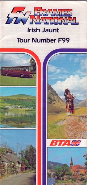
The westernmost island of the European continental shelf, Ireland covers 32,524 square miles, is 302 miles long and over 189 miles across at its widest point. A land of mild winters and temperate summers, it is generally an easy-going place with a friendly nature.
There are 32 counties, divided historically into four provinces: Munster, Leinster, Ulster and Connacht. Six of the nine counties of Ulster — Antrim, Armagh, Down, Fermanagh, Londonderry and Tyrone — make up Northern Ireland. The population is over 4,730,000, of whom about a third live in Northern Ireland.A central limestone plain, covered with peat bogs and drained by the River Shannon, underlies most of the country and along the coast tower mighty hills and mountains. To the south and south west, a huge belt of red sandstone and shale is carved into spectacular rocky gorges and wooded valleys by beautiful winding rivers. In Co Galway and Co Mayo, to the west, are magnificent mountain ranges of granite, quartzite and igneous rock and the central plain slides gently down to the sea between Sligo and the southern edge of Co Donegal. North of Carlingford Lough in the east are the granite Mountains of Mourne, balanced by the Wicklow Mountains south of Dublin; the north east of the country is filled with a huge basalt plateau enhanced by the nine Glens of Antrim.
There are over 3,000 miles of breath-taking coastline, 9,000 miles of rivers and some 800 lakes; the abundance of water partly explains the lush rolling grasslands that cover so much of the country and give it the name of the ‘Emerald Isle'. The largest lake in the British Isles is Lough Neagh, to the west of Belfast, which covers 153 square miles; the highest mountain is 3,414 foot high Carrantuohill, near Killarney in Co Kerry; and the longest river is the Shannon, which traverses 230 miles.
Once the home of the saints and scholars of early Christian Europe, Ireland is a country rich in prehistoric remains, Celtic high crosses, Romanesque monasteries, Anglo Norman castles and handsome Palladian mansions.
Ireland is a lyrical land, washed by sea and ocean and edged with dramatic cliffs or curving scimitars of dune-backed beach. It is a land of myths and legends and undying memories. Visitors can still find tranquility in its leaf-shaded glens, along the banks of its trout-filled rivers, or on the slopes of its heathercovered mountains.